Tekniskur fyrilestur: SLAM based LiDAR system
Í sambandi við, at Henry Henderson-Genefaas frá Emesent er á vitjan í Føroyum, skipar Staðsetingardepilin fyri tekniskum fyrilestri á Umhvørvisstovuni í morgin hósdagin 18. juli kl 15.30.

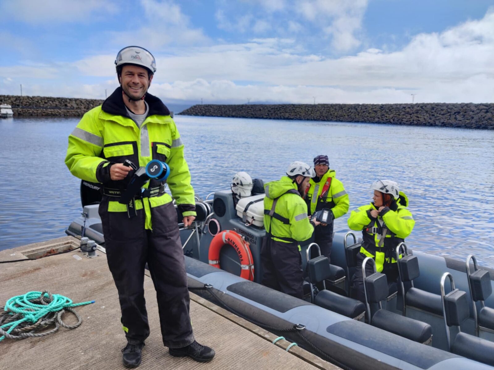
Meðan Henry er í Føroyum, fer hann at máta upp Klæmintsgjógv úti í Hesti (stødd í rúmd).
Niðanfyri er lýsing av fyrilestrinum, sum verður á enskum:
Building on a decade of pioneering research at the Commonwealth Scientific and Industrial Research Organisation (CSIRO), Emesent offers state-of-the-art autonomous SLAM-based LiDAR mapping and data analytics solutions specifically designed for challenging and GPS-denied environments. Providing fast, accurate and long-range scanning, Emesent Hovermap helps businesses map the unknown, minimizing operational downtime while improving worker safety.
Henry Henderson-Genefaas is a technical specialist at EMEA. He holds a bachelor’s degree in Surveying Engineering from the University of Otago, New Zealand, and has diverse technical experience, including 9 years working as a mine surveyor in Queensland, Australia.
Henry will give a presentation about Emesent’s SLAM based LiDAR system. This is a mobile system, capable of incorporating RTK GNSS to geolocate the point cloud, as well as being backpack mounted or drone mounted. Such systems can be used for tunnel deformation monitoring, capturing as-built surveys of buildings, engineering, construction, and geospatial applications. Henry is currently in the Faroe Islands carrying out a project; measuring the volume of the Klæmintsgjógv cave system in Hestur.
Øll eru hjartaliga vælkomin.


